Lived on-board Hadar

Wednesday, May 02, 2012

Moreton Bridge to Frontcysyllte

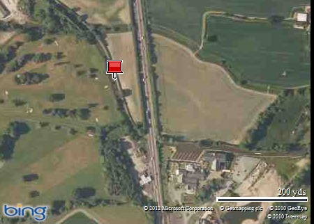
Map picture

Frontcysyllte 1

Due to poor internet connection I have not been able to update this blog properly, so it will be a bit brief for today and tomorrow. An early start to avoid traffic at Chirk aqueduct and tunnel paid off handsomely.

SAM_2241

SAM_2244

SAM_2248

SAM_2249

SAM_2251

SAM_2252

SAM_2254

SAM_2257

Whitehouse tunnel.

SAM_2258

Having arrived at the 48 hour moorings before Frontcysyllte lift bridge at 9:00am, Jo made a packed lunch and we set off for what ended being a 5.63 mile walk! Phew. Taking in the Pontcysyllte aqueduct, Trevor village, the River Dee walk to Tŷ Mawr visitor centre where we had our packed lunch, and then returned to Hadar via Newbridge and Pentre.

First sighting of the Pontcysyllte aqueduct.

SAM_2261

SAM_2263

SAM_2265

The railway viaduct in the distance which we would be walking to.

SAM_2266

The River Dee was flowing well.

SAM_2268

We would be walking to this road bridge.

SAM_2270

SAM_2271

SAM_2272

SAM_2273

Jo doing a poor job of hiding.

SAM_2274

SAM_2276

SAM_2277

The end of the Trevor basin, which was originally going to be the main line to Chester.

SAM_2279

SAM_2281

SAM_2282

The canal from Trevor to Llangollen.

SAM_2285

SAM_2287

Pontcysyllte aqueduct seen from the road bridge mentioned earlier.

SAM_2289

SAM_2291

Pontcysyllte aqueduct as seen from the anglers path alongside the River Dee from the road bridge to the aqueduct, not a recommended path for the faint hearted!

SAM_2298

A stream we had to cross using the stepping stones seen at the bottom of the photo.

SAM_2297

SAM_2302

Don’t fall in Jo!!

SAM_2304

SAM_2305

The path from Pontcysyllte aqueduct to the Tŷ Mawr visitor centre is either fairly new or has been revamped recently, walking through the wild garlic.

SAM_2310

SAM_2313

Having our packed lunch at the Tŷ Mawr visitor centre .

SAM_2325

SAM_2330

SAM_2331

SAM_2334

SAM_2340

SAM_2342

SAM_2352

SAM_2360

SAM_2356

Our route took under the railway through this bridge.

SAM_2364

Newbridge, where we would be crossing the River Dee.

SAM_2368

Crossing the River Dee on the road bridge.

SAM_2371

The railway viaduct from the road.

SAM_2379

And finally back to the canal.

SAM_2380

Keith.

Tuesday, May 01, 2012

Frankton Junction to Moreton Bridge (A5)

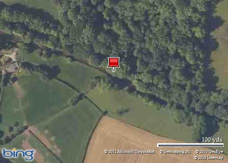
Map picture

Moreton Bridge

A damp day as we set off this morning. For some reason from Frankton junction the bridge numbers all end with a W, which we have now found out why.

SAM_2210

For historic reasons the bridge numbering continues down the Montgomery Canal and a second bridge numbering series for the Llangollen Canal begins with Rowson's Bridge (which is numbered both 1W and 70). The "W" addition is a recent act by British Waterways, to avoid possible confusion, especially for emergency services, of having different bridges on the same canal with the same number.

We could just make out the distant Welsh foothills shrouded in a grey murk.

SAM_2211

SAM_2212

SAM_2216

Hire boats were having fun at the bottom Marton lock.

SAM_2217

SAM_2218

SAM_2220

SAM_2223

SAM_2224

SAM_2226

SAM_2228

SAM_2229

SAM_2231

SAM_2234

Keith.

Monday, April 30, 2012

Ellesmere to Frankton Junction.

Map picture

Frankton Junc

With the worst of the wind and rain over the weekend out of the way we set off from Ellesmere to Frankton junction, but first we crossed the canal to the maintenance yard to fill up with water and empty everything that needed emptying.

SAM_2174

Tescos as seen from the sanitary station.

SAM_2175

And then we set off.

SAM_2177

SAM_2178

First distant glimpse of the Welsh foothills.

SAM_2179

SAM_2180

Approaching Frankton Junction.

SAM_2181

Frankton Junction and the Montgomery Canal.

SAM_2182

Keith.