Lived on-board Hadar

Daisypath Vacation tickers

Tuesday, July 30, 2013

Swarkestone to Willington

5.2 miles, 1 lock, 2hrs 55mins.

Map picture

Willington

A pleasant day to travel.

SAM_2093

Stenson lock, the last wide lock until Middlewich.

SAM_2095

Stenson Marina above Stenson lock.

SAM_2096

Nadee Indian Restaurant at Buckford Bridge No.21, which used to be called the Greyhound.

SAM_2097

We pulled into Mercia Marina and moored on the Midland Chandlers pontoon, so I could pick up some engine oil. Then we carried on to Willington and moored up and had lunch before having a quick walk around the village.

SAM_2099

What appears to be the centre of Willington.

SAM_2102

Looking towards the village centre, and railway bridge from the canal bridge. The railway bisects the village on a high embankment and appears to be quite a busy line.

SAM_2101

The Dragon canalside pub/restaurant by the bridge.

SAM_2100

Hadar safely moored up in Willington.
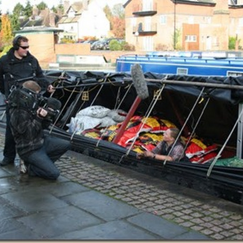
Keith.

Monday, July 29, 2013

Aston to Swarkestone

4.15 miles, 2 locks, 2hrs.

Map picture

Swarkestone

A cooler start this morning.

SAM_2072

A Hall near Aston.

SAM_2074b

Swarkestone Pavilion, or Summer House. After lunch we took a walk into and around Swarkestone.

SAM_2076

From alongside Swarkestone wharf buildings there is a footpath across the fields to Swarkestone village.

SAM_2077

Looking back across the field towards the wharf buildings, showing some corn circles in this field.

SAM_2079

Then we crossed the railway track, so far we have only seen freight trains on this line.

SAM_2081

The next field after crossing the railway track, with the village close by.

SAM_2083

Crewe and Harpur on the banks of the River Trent.

SAM_2084

The road bridge crossing the River Trent.

SAM_2085

Pretty cottage.

SAM_2086

St. James church.

SAM_2087

Cottages alongside the church.

SAM_2088

Swarkestone Pavilion, or Summer House from the road.

SAM_2089

The now disused Willington Power Station in the distance.

SAM_2090

We returned to the canal by the lock, and walked towards the derelict Derby Canal. a mile post near the junction.

SAM_2091

At present the Swarkestone Boat Club occupies the entrance to the derelict Derby Canal. This is from the bridge over the entrance to the Derby Canal looking towards the junction with the T&M.

SAM_2092

This is from the other side of the bridge, a lot of work to be done then to restore the canal by the Derby and Sandiacre Canal Trust.

Keith.

Friday, July 26, 2013

Shardlow to Aston Lock.

1.35 miles, 1 lock, 1hr 5 mins.

Poor internet connections recently have meant I have not been able to keep up with the blog. Not the best of connections today (Saturday) but I will post something for the past few days and update when I get a better signal.

Aston lock

A late start this morning led to a short journey today, to avoid the heat of the day, and to get a good mooring for the weekend.

Keith.

Thursday, July 25, 2013

Beeston Lock to Shardlow Lock.

8.33 miles, 5 locks, 3hrs 55mins.

Poor internet connections recently have meant I have not been able to keep up with the blog. Not the best of connections today (Saturday) but I will post something for the past few days and update when I get a better signal.

Shardlow lock

Today was our last time on the River Trent and back onto the Trent and Motorway Canal. We have had a great time on the river and look forward to returning back at some time in the future. Having moored up above Shardlow lock we had a quick walk around the inland port.

Keith.

Wednesday, July 24, 2013

Nottingham City to Beeston Lock

 3 miles, 0 locks, 1hr 30mins.

Poor internet connections recently have meant I have not been able to keep up with the blog. Not the best of connections today (Saturday) but I will post something for the past few days and update when I get a better signal.

Beeston lock

A short journey today to Beeston lock at the end/start of the Beeston Canal. In the afternoon we took a walk around part of the Attenborough Nature Reserve.

Keith.

Tuesday, July 23, 2013

Holme Pierrepont to Nottingham City

1.6 miles, 2 locks, 1hr 35mins.

Map picture

Nottingham Castle (3)

With thunderstorms this morning we didn’t move, but after lunch the skies cleared so we set off for the city.

SAM_2025

The floodlights of Trent Bridge cricket ground.

SAM_2026

A derelict dock.

SAM_2030

Nottingham Forest football ground.

SAM_2029

Trent Bridge.

SAM_2032

Back onto the Nottingham Canal.

SAM_2033

SAM_2034

SAM_2035

SAM_2038

Castle lock.

Keith.

Monday, July 22, 2013

Hazelford Lock to Holme Pierrepont

14 miles, 3 locks, 4hrs 35mins.

Map picture

Holme Pierrepont

A dull grey start with very low cloud/mist, but the sun did burn through during the morning.

SAM_1990

Very misty start to the day.

SAM_1993

Approaching Gunthorpe lock.

SAM_1995

Approaching Stoke lock.

SAM_1996

Colwick weir alongside Holme lock.

SAM_2000

Having moored up above Holme lock, I took my first look at the white water run of the National Water Sports Centre alongside the river. After lunch we took a walk around the site.

SAM_2003

The starting area.

SAM_2006

The white water run is naturally fed from the River Trent.

SAM_2004

SAM_2001

SAM_2008

SAM_2011

SAM_2013

SAM_2017

SAM_2022

SAM_2014

This is half of the rowing lake alongside the white water run.

SAM_2015

And this is the other half.

Keith.